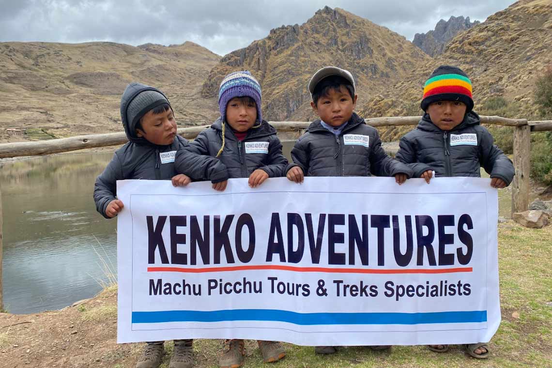
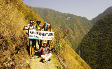
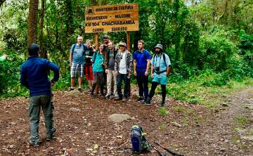
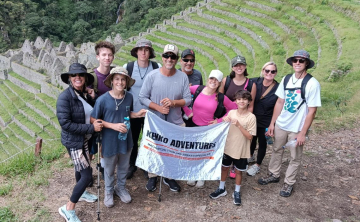
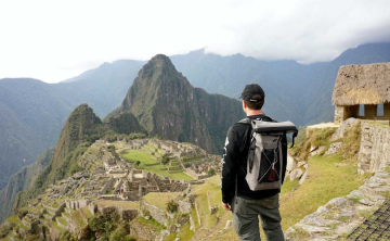
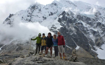
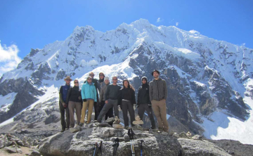
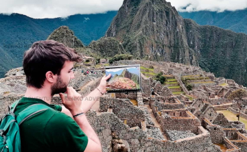
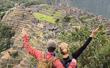
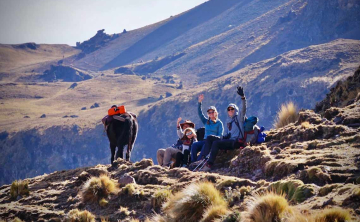
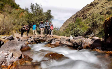
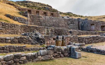
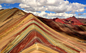
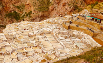
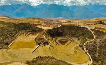
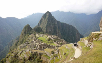
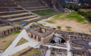
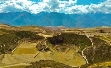
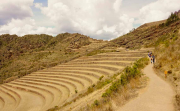
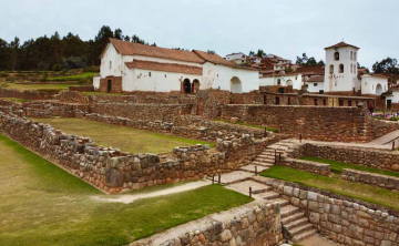
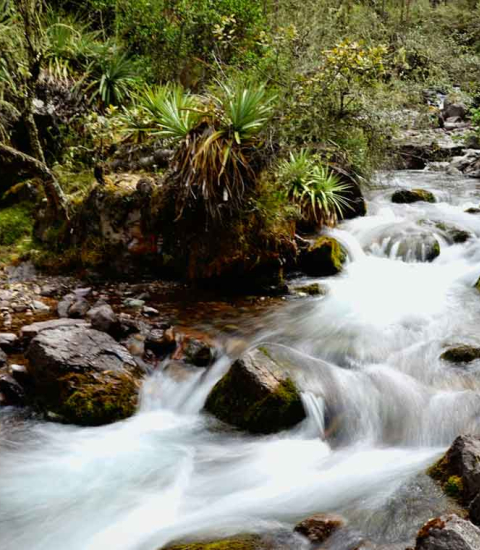
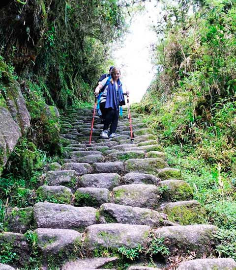
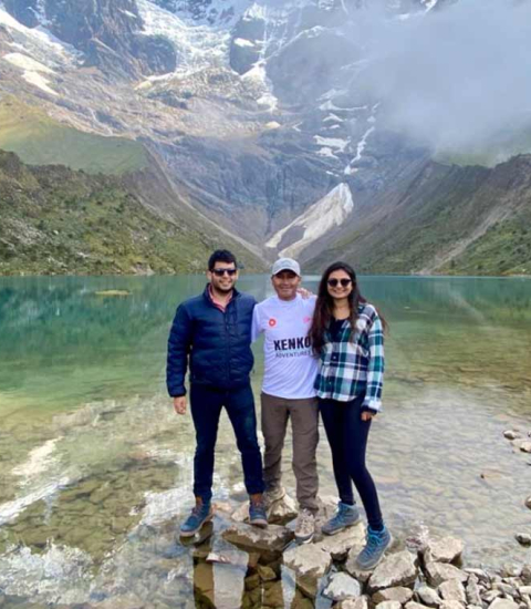
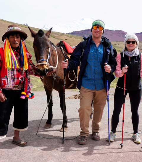
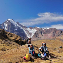
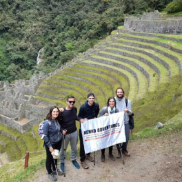
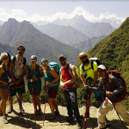
We present our real culture life to our clients, hiring people from villages and communities of our region.
Complete Inca Trail Maps & Itinerary: Plan Your Trek to Machu Picchu
Classic Inca Trail 4 day tour maps (Hot showers included)
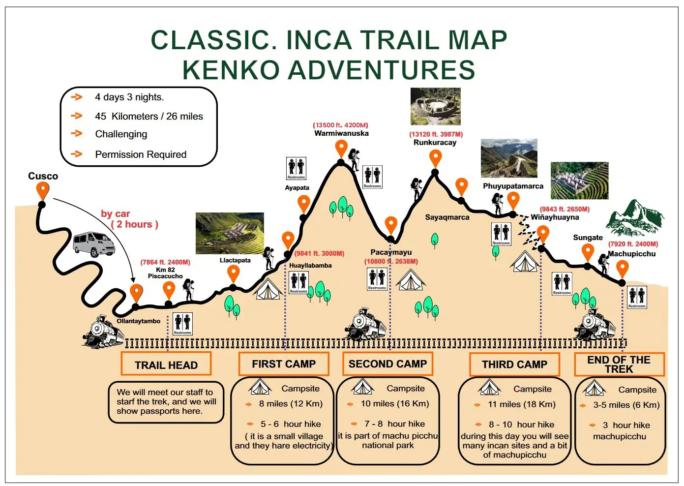
We offer a detailed map for our Classic Inca Trail 4-day tour to Machu Picchu for 2025 - 2026. This map helps travelers understand distances, altitudes, hiking times, and campsite locations for each day of the trek.
Popular route
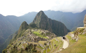
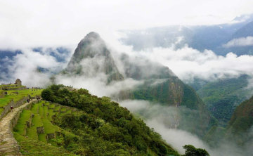
This is the most sought after inca trail 4 days, 3 night hiking tour to Machu Picchu, taking you through valleys, mountains, snow peaks, glacier peaks, and tropical forests. Experience a mix of nature and Inca culture with stops at towns like Llaqtapata, Wayllabamba, Runkurakay, Sayacmarka, Phuyupatamarca, Intipata, Wi├▒ayhuayna, Sun Gate, and finally, Machu Picchu.
This iconic trek offers a unique blend of nature, history, and Inca culture. Along the way, youÔÇÖll visit ancient Incan settlements like Llaqtapata, Wayllabamba, and Runkurakay, each offering a glimpse into the rich cultural heritage of the Inca civilization. Continue your journey through the dramatic landscapes of Sayacmarka and Phuyupatamarca, where youÔÇÖll experience the beauty of the Andean mountain range. As you make your way through Intipata and Wi├▒ayhuayna, be enchanted by the stunning terracing and agricultural ingenuity of the Incas. Finally, reach the iconic Sun Gate and witness the breathtaking first view of Machu Picchu, the crowning jewel of your adventure.
Itinerary
The tour starts in Cusco, then drives to KM 82 in Ollantaytambo, and covers 45 km or 26 miles by stone pavement, ending at Machu Picchu. We recommend booking 6 months in advance, as tickets sell out quickly.
Day-by-Day overview
Embark on an unforgettable journey along the iconic Inca Trail to Machu Picchu. This comprehensive day-by-day overview will guide you through each stage of the trek, from the breathtaking landscapes of the Andes to the awe-inspiring ruins of Machu Picchu. LetÔÇÖs explore the incredible sights, sounds, and stories waiting for you on each day of the trail.
Day 1
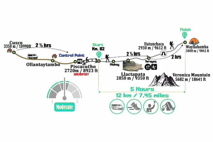
Brief description: Cusco will be our starting point, the adventure will begin with the classic trip to Ollantaytambo town, which is part of the Sacred Valley. Once we arrived to our first destination, a bus will be waiting for our arrival to go to Km 82, also known as Piscacucho. With each step, the trail becomes steeper, until we reach Llactapata, this place is a enormous archeological site, you can see terraces and hundreds of housing structures. At the end of our ascend, we enjoy a traditional lunch to continue with our hike of approximately 2 hours which ends in the first camp of the Inca Trail, located in Wayllabamba.
Details:
- Start: Cusco to KM 82 (Piscaucho)
- Hike: 6 hours through Canamarka, Wilkaracay, Llactapata, Tarayoq, Wayllabamba
- Distance: 6 miles or 12 km
- Altitude: 2600m to 3000m
- Accommodation: Camping
- Difficulty: Moderate
- Hot showers: Included
Day 2
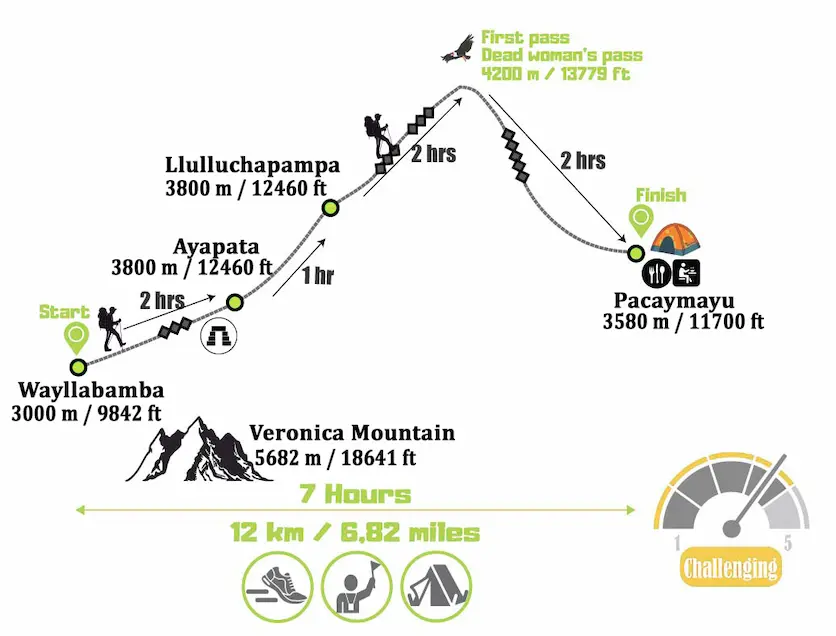
Brief description: The adventure continues and our second day begins with a 3-hour trek that ends in Llulluchampa, where we will take a break, eat a snack and other facilities. After the well-deserved rest, the next hike awaits us, this is to the Abra de Warmihua├▒usca or Paso de la Mujer Muerta (Dead Woman Pass), due to its geographical characteristics, is arduous and steep; the landscapes of the trail change from the moderate temperatures of the Sacred Valley to the cold and arid high plains. The next camp that waits for us is Pacaymayu.
Details:
- Start: Wayllabamba to Pacaymayu camp
- Hike: 7-8 hours, uphill to Dead Woman Pass, then downhill to Pacaymayu
- Distance: 9 miles or 16 km
- Altitude: 3000m to 4200m
- Accommodation: Camping
- Difficulty: Challenging
- Hot showers: Included
Day 3
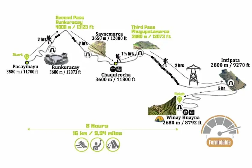
Brief description: For the third day of adventure, we will face a more difficult stretch of 1 hours, we will go to the archeological complex of Runkuracay at 3,750 meters above sea level, this place gives us the view of a semicircular design, we can also contemplate the beautiful view of the Pacaymayo Valley. Then, we will encounter a descent to a lagoon called Yanacocha, which we will explore and then ascend again to Phuyupatamarca from where, finally, we will make the last exploration through the ecosystems of Wi├▒ayhuayna.
Details:
- Start: Pacaymayu to Wi├▒ayhuayna camp
- Hike: 8-9 hours, uphill to Runkurkay Pass, then downhill to Wi├▒ayhuayna
- Distance: 11 miles or 18 km
- Altitude: 2600m to 4000m
- Accommodation: Camping
- Difficulty: Moderate
- Hot showers: Included
Day 4
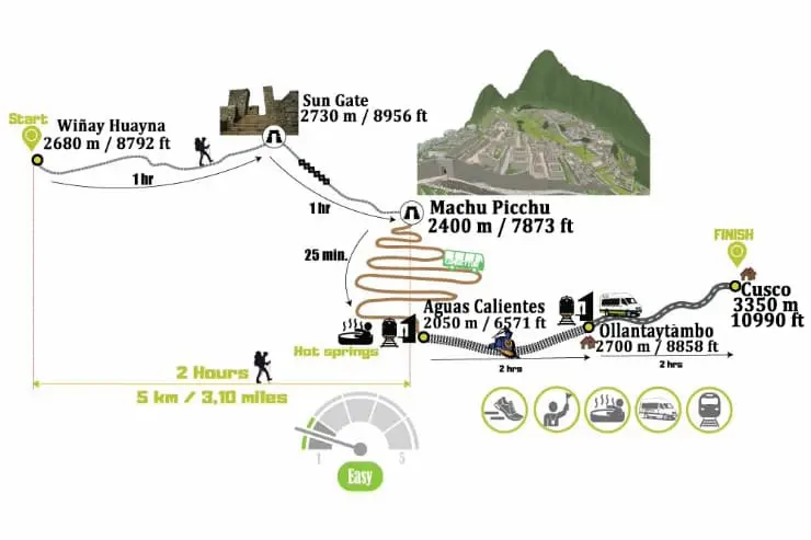
Brief Description: To finish our trek, a much quieter day awaits us, at the end of our traditional breakfast, which begins at 4:30 am, the entire group is guided to the next trail at 5am, for a light and pleasant ascent to Inti Punku, after that, the group will be amazed with a descent to the citadel of Machu Picchu to enjoy the free time.
Details:
- Start: Wi├▒ayhuayna to Machu Picchu
- Hike: 2.5 hours, mostly flat to Sun Gate, then downhill to Machu Picchu
- Distance: 3 miles or 6 km
- Altitude: 2600m to 2100m
- Accommodation: Hotel in Cusco
- Difficulty: Moderate
- Transport: Included, back to Cusco via Vistadome service train
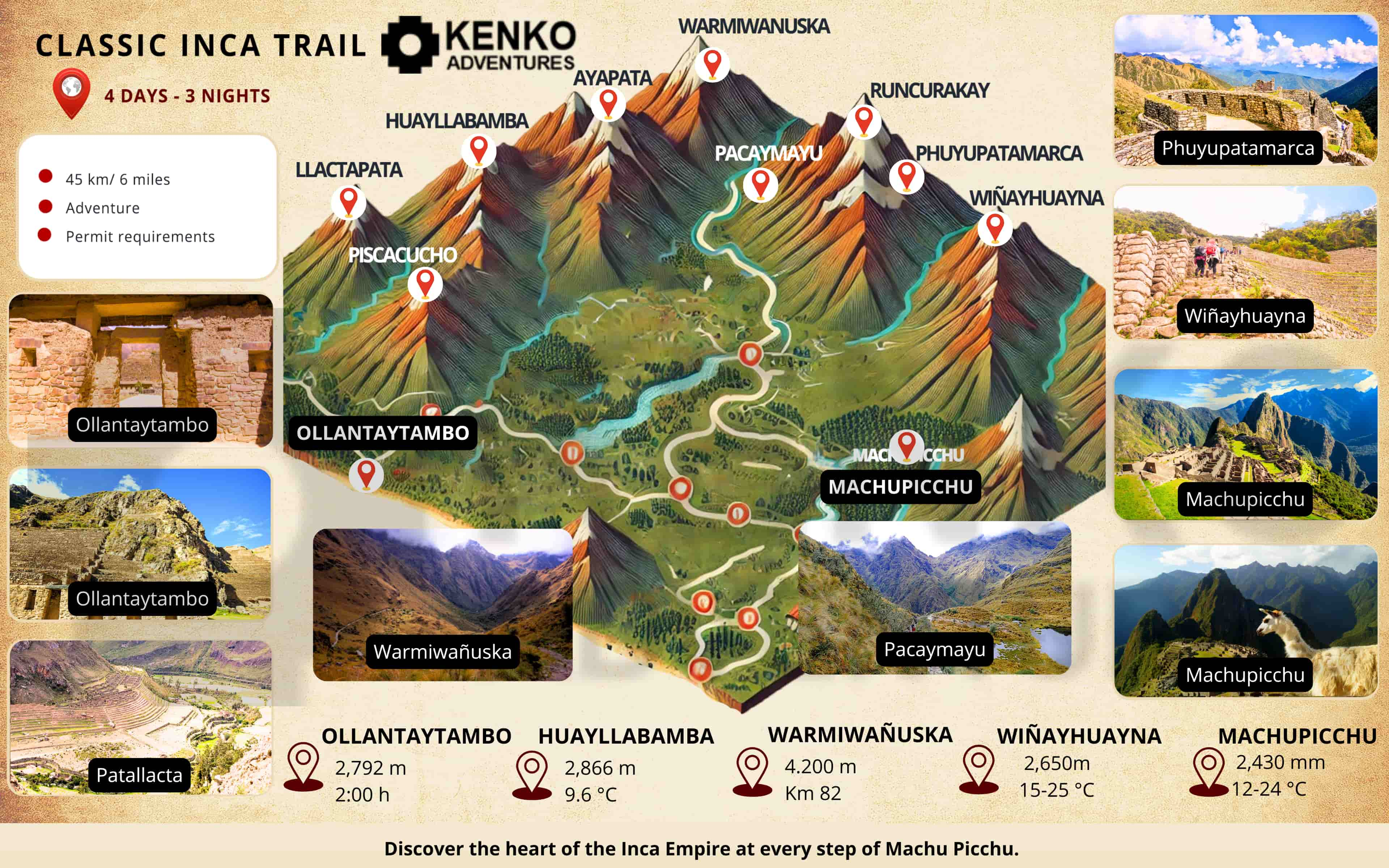
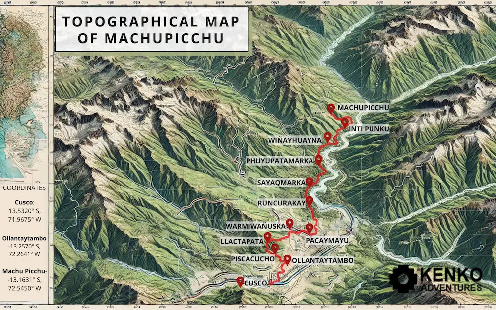
Topographic map of the Classic Inca Trail: Detailed relief and geography of the route
This map provides an in-depth view of the iconic Inca Trail, highlighting the varied terrain and elevation changes you'll encounter during the 4-day hike to Machu Picchu. With detailed topography, it illustrates the diverse landscapes, from lush valleys to rugged mountain peaks, and offers a clear view of key points along the trail, helping you understand the challenges and beauty that await.
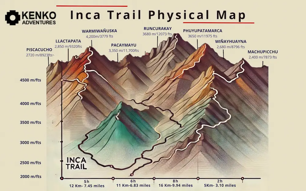
Physical map of the Classic Inca Trail: Natural features and environment along the Inca Trail
This physical map showcases the diverse natural features and environments that define the Classic Inca Trail. From the dense forests and rivers to the snow-capped peaks and alpine terrain, the map highlights the stunning geographical variety that you will experience. It offers insight into the ecological zones and natural landmarks that make this trek one of the most extraordinary journeys through the Peruvian Andes.
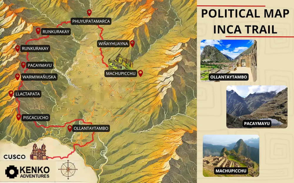
Political Map of the Classic Inca Trail: Boundaries and protected areas along the route
This political map highlights the key boundaries and protected areas along the Classic Inca Trail. It provides a clear understanding of the jurisdictions and conservation zones, including national parks and cultural heritage sites that are integral to preserving the trail's natural and historical significance. The map emphasizes the protected landscapes and indigenous territories, helping trekkers appreciate the importance of sustainability and local governance along their journey.
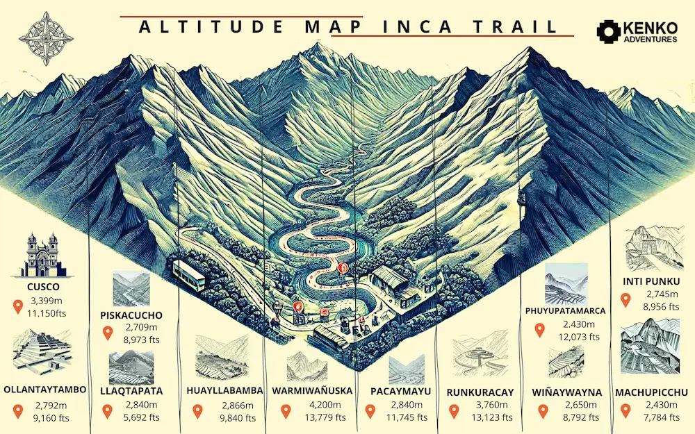
Elevation map of the Classic Inca Trail: Elevation profile and challenges of the Inca Trail
This elevation map offers a detailed profile of the Classic Inca Trail, showcasing the significant changes in altitude youÔÇÖll encounter throughout the trek. It highlights the steep ascents and descents, providing an understanding of the physical challenges involved. With key elevation points marked along the route, this map helps trekkers prepare for the altitude variations, ensuring a better understanding of the trail's difficulty and the stamina required to reach the awe-inspiring Machu Picchu.
